
Yanks Peak.
A bedrock-gold exploration perspective in British Columbia’s Cariboo. Begin with the landscape; keep the evidence in context.
Revisit the evidence.
Refine the opportunity.
Yellow Brick Resources is introducing a new exploration chapter at Yanks Peak. Historical diamond drilling, geochemical sampling and ground surveys provide a technical foundation for investigating bedrock gold targets.
Programs by earlier operators covered different areas and answered different questions. The next step is to bring those observations into one consistent spatial and geological framework—not to assume that every historical result belongs to today’s project.
- Focus
- Bedrock gold exploration
- Setting
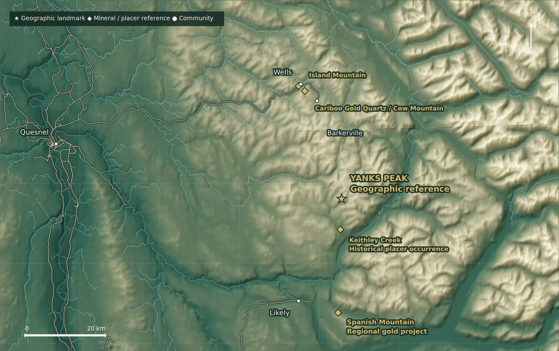
- Keithley Creek / Cariboo, BC
- Evidence
- Historical drilling, sampling and ground surveys
- Status
- No established resource or reserve from the information reviewed
A goldfield with a remarkable past.
The Cariboo’s history did not begin with the gold rush. Indigenous peoples have longstanding relationships with these landscapes, which any modern exploration story must recognize alongside the mining record.
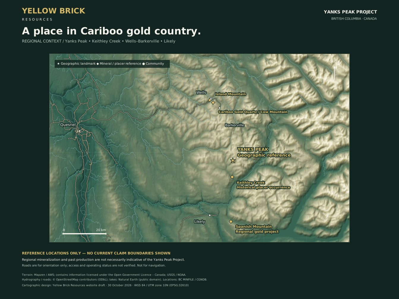
BC MINFILE records placer gold discovery near the mouth of Keithley Creek in July 1860. Around Yanks Peak, the search later extended from creek gravels to quartz veins and mountain workings. The Talbot and Midas occurrences are documented district examples, not results attributed here to Yellow Brick Resources’ present ground. [1–3]
A supplied outline. Verification still matters.
The revision-3 geophysics maps include a mineral outline recovered from the supplied 2026 map. This updates the earlier kit’s statement that no outline had been supplied. Reconstructing that outline does not independently verify registered interests, legal ownership or the relationship of all historical work to current tenure.
The current exploration narrative focuses on bedrock gold. Historical placer workings, Lou surveys and district occurrences remain contextual unless their relationship to applicable rights is confirmed.
No current mineral resource or mineral reserve has been established for Yanks Peak from the information reviewed. Regional mineralization and historical production are not necessarily indicative of mineralization on the project.
From archive to focused targets.
- Establish the footprint. Confirm tenure, rights, access and historical-work locations.
- Build one geological picture. Reconcile drill logs, sampling and survey grids.
- Verify the best evidence. Relocate sites, map geology and collect documented samples.
- Test beneath cover. Design follow-up for the specific geological question.
- Advance through results. Let sample quality and reproducible outcomes determine the next stage.
A proposed direction, not an approved or funded field program. Technical review, funding, access, authorizations and appropriate engagement remain necessary.